
Are you working with data coming from the indoor mobile mapping HERON system? Expand your Reconstructor with the HERON add-on set of commands to get major and better results. Adjust the trajectory, navigate and retrace the survey with a 360° spherical view, obtain completely measurable technical views that can be shared with the final customer, produce videos or georeference by constraining data to static scans and much more.
FIND OUT ALL THE COMMANDS
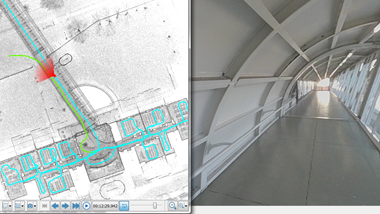
Display HERON surveys (clouds and images) along to their trajectories.
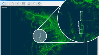
Open the orthophoto to measure distances, angles, areas and export it in AutoCAD or publish it inside the GoBlueprint tool.
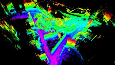
Create or edit a HERON survey.
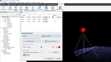
Georeference HERON data by using spheres, targets , ground control points or static scans as constraints.
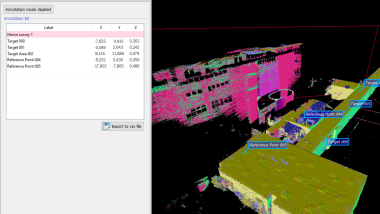
Manage and modify HERON annotations and reference points detected in real-time in the field during the survey acquisition.
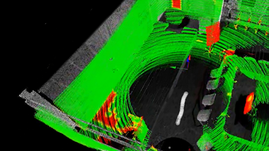
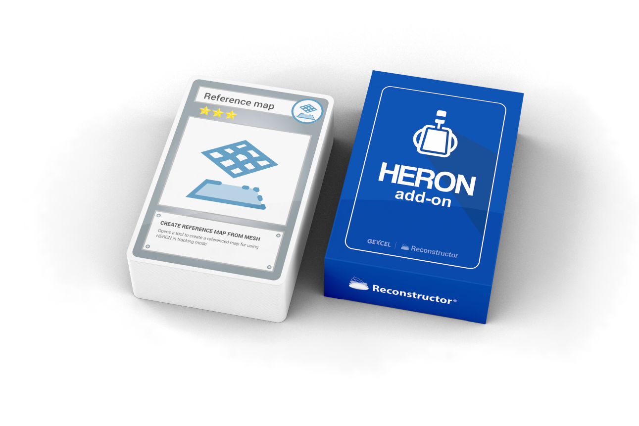
Create reference maps (from BIM or point clouds models) for using HERON in tracking mode. Ideal for as-built as-designed comparison or documentation of a site in different times.
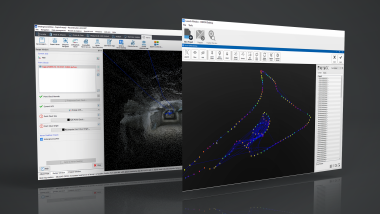
Direct connection to HERON Desktop processing platform. Read HERON surveys and generate reference point clouds for constraining the HERON global optimization.
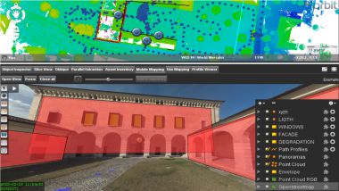
Directly export HERON projects to Orbit GT software environments.
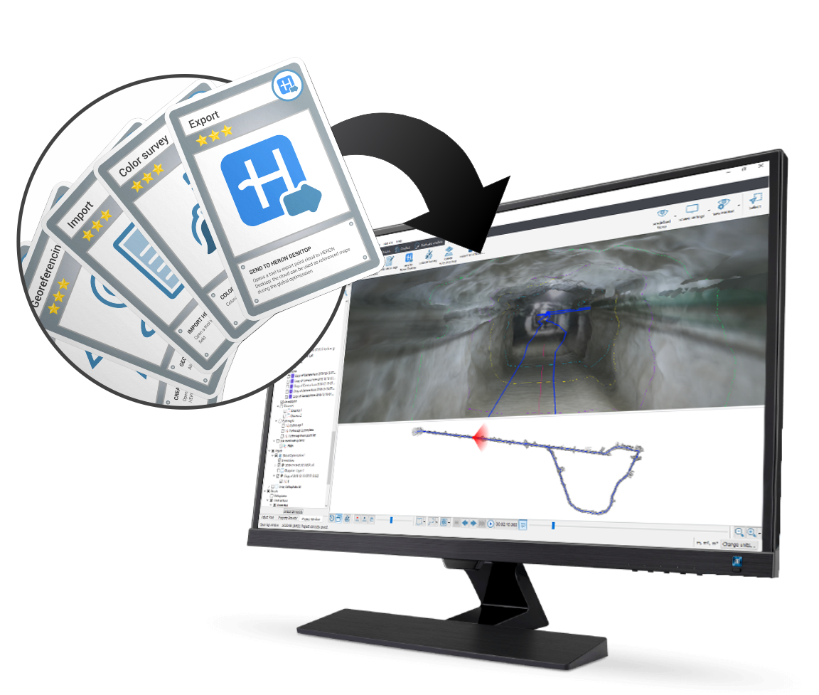
Implementing HERON add-on to your Reconstructor is simple and immediate! Once purchased, you can immediately install the new commands and display them automatically in the main toolbar after starting the software. Get now a free quotation for a perpetual license.