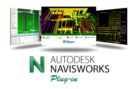
FIND CONSTRUCTION MISTAKES BEFORE THEY BECOME PROBLEMS
Verity compares laser scans of as-built conditions against any 3D Navisworks model to generate accurate quality assessments.Sophisticated computer vision algorithms compare the point cloud to the model, enabling Verity to measure the distance between where an element was meant to go and where it was actually built. The result is a much more accurate, detailed, and complete variance analysis.

“Verity is a powerful new tool to help us understand what’s really going on out in the field. Its tools to recoordinate the true as-built are incredibly helpful. DPR is excited to use this technology on our future projects.”

“We went into this as a beta demonstration not expecting any actionable information, but Verity helped ensure we turned over good information to the hospital owner to maintain and operate the building.”

The software designed by ClearEdge3D to automatically exctract family objects and features from your point clouds.