Reconstructor® can import different data formats and extract multiple information, then exportable in other modeling software.
FIND OUT THE MAIN FEATURES
![]()

![]()
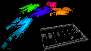
Automatic target-less and target-based registration with bundle adjustment for point cloud and mesh/CAD/BIM models
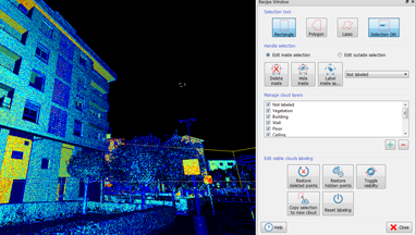
A tools box to edit, filter, manage points color layers and to manually classify point clouds
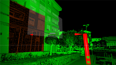
Mesh generation and editing, automatic edges extraction for 3D CAD drawing. Primitives fitting, measures and intersections (planes, cylinders, spheres, cones)
Tools for model comparison, scan to mesh, scan to BIM/CAD model. Change detection in time for monitoring applications
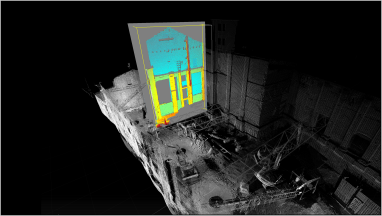
Generation of verticality and planarity maps using 3D point clouds and reference planes
Export multiple cross-sections in .dxf format, slices of points and 3D views. Visualize and measure sections with the GoBlueprint free tool
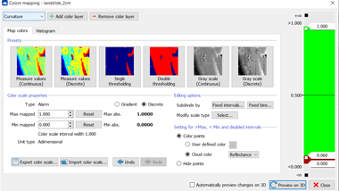
Tools to colorize point clouds with several color layers (height, inclination, intensity, change detection, etc.) for efficacily point cloud analysis
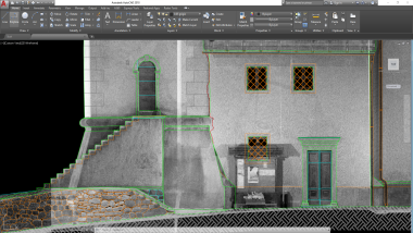
Extract isolines, plants, elevations and cross sections ready for CAD
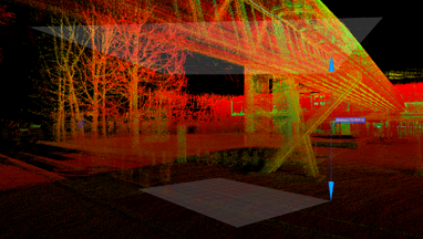
Get distances, angles, areas, volumes. Planes, cylinders, spheres, cones fitting, intersection and distances
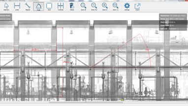
STANDARD & X-RAY ORTHOPHOTO
Create orthophotos from point and meshes. Generate the X-Ray orthophoto to enhance the important feature of a 3D object such as edges, corners, wall etc.
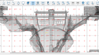
Use orthophotos and x-ray orthophotos to quickly create spot height maps or depth maps of buildings facades
Set of commands dedicated to Reconstructor software for specific workflows: color field, terrain and volume analysis, HERON data management.
Find out more...
COLOR add-on MINING add-on HERON add-on